


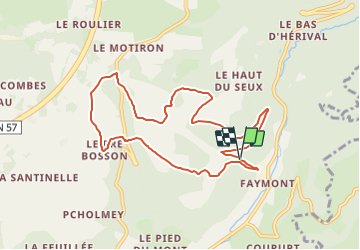


7,9 km | 10,2 km-effort


Gebruiker


Gratisgps-wandelapplicatie
 SityTrail
IGN / Geografische instituten
SityTrail World
De wereld gaat voor u open
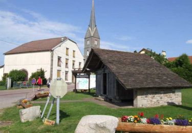
Tocht Stappen van 8,8 km beschikbaar op Grand Est, Vogezen, Le Val-d'Ajol. Deze tocht wordt voorgesteld door Emmanuel Remy.
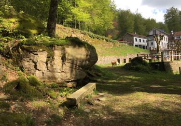
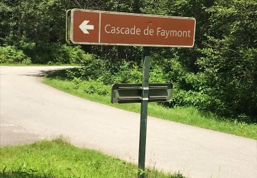
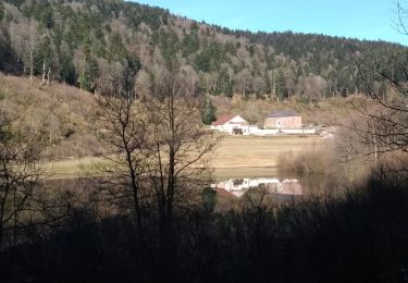
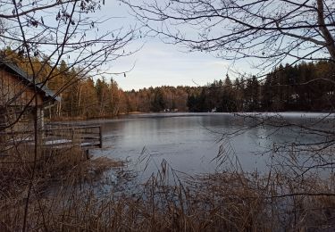
Le bassin situé au pied de la cascade alimentait la scierie visible en aval. De même, en amont de la cascade, plusieurs fermes disposaient d'une petite turbine pour fabriquer de l'électricité.
Stappen

Te voet

Mountainbike
Stappen
Stappen
Stappen
Stappen
Stappen
Stappen